Can I build in an area with a bushfire hazard mapped?
Yes, development is permitted in bushfire prone areas if the risk to people and infrastructure is manageable and does not unnecessarily and unreasonably place people, infrastructure and the environment at risk
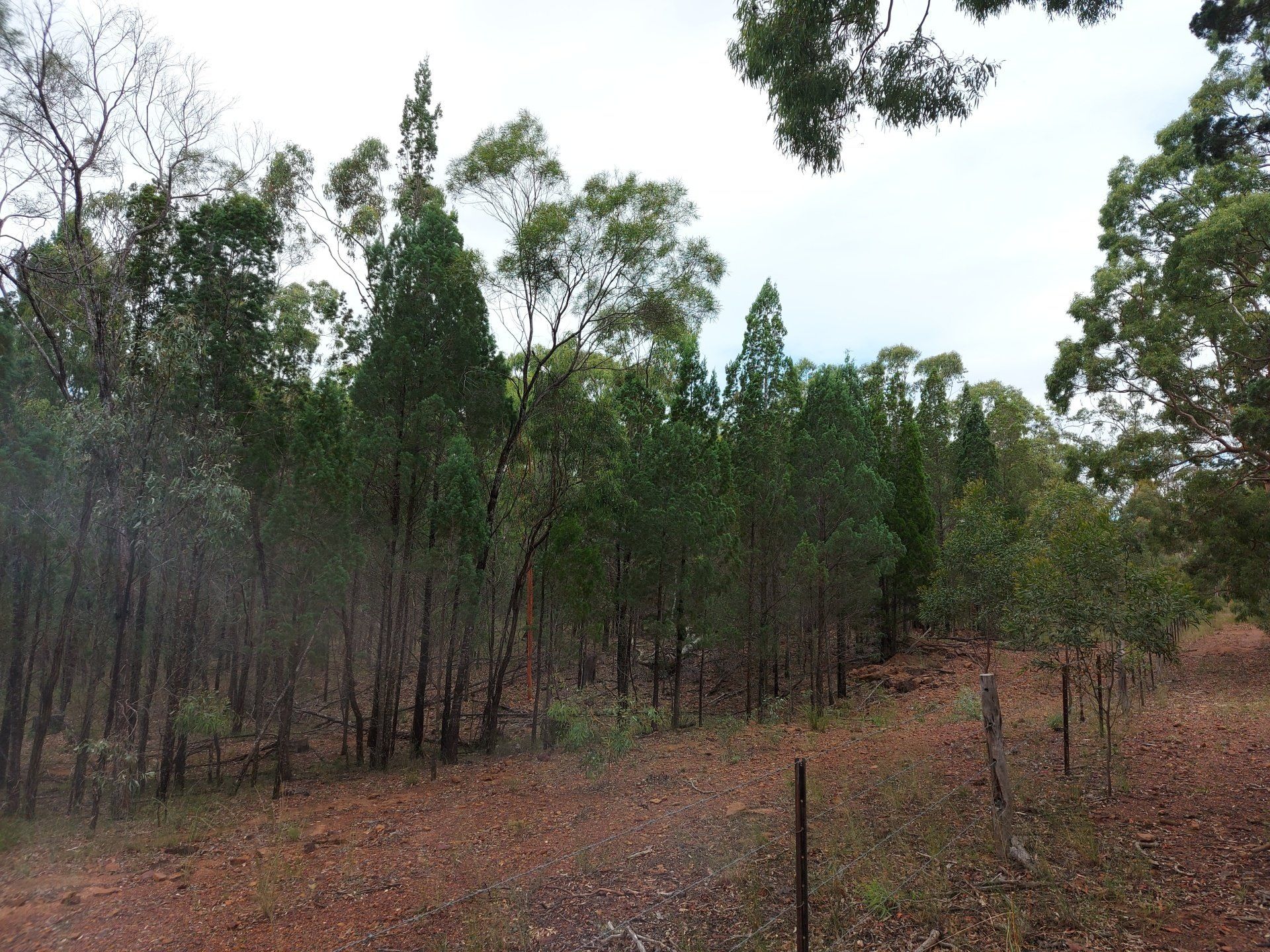
It is common for development applications to be lodged to Council and for Council for request a bushfire hazard assessment (BHA) or bushfire management plan (BMP) where a site falls within a mapped bushfire prone area. This provides certainty to Council that potential risks which may occur at a site are able to and will be managed.
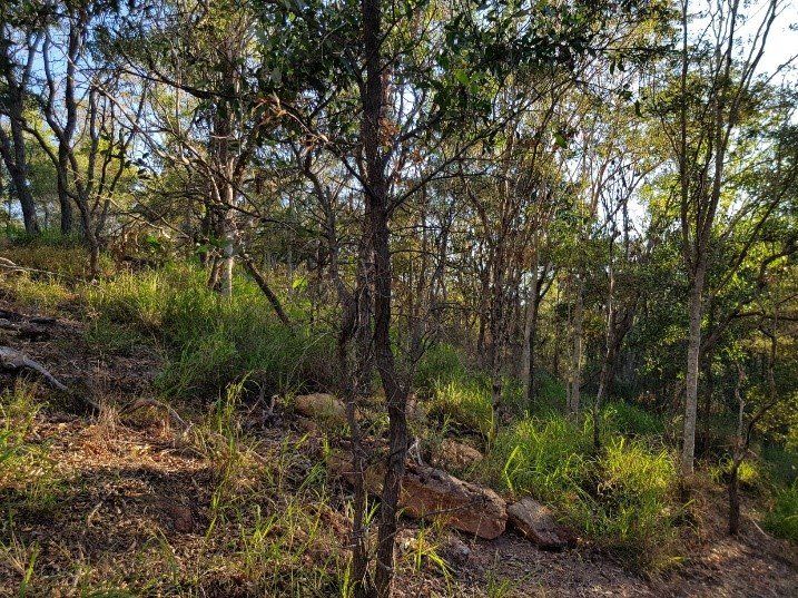
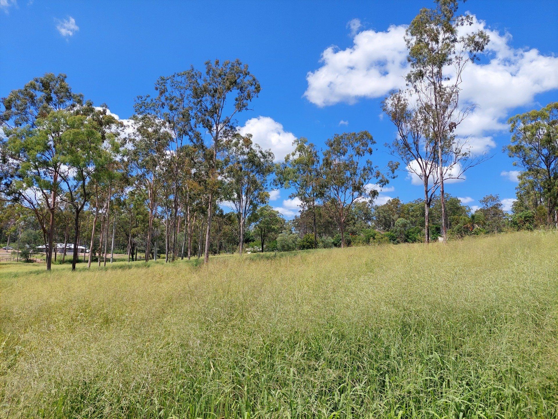
Assessments can be basic or complex, depending on your proximity to bushland, surrounding slopes and location. We can assist you determine a suitable bushfire management strategy which incorporates the following (if necessary):
- Fire management lines or fire trails
- Firebreaks or asset protection zones
- Firefighting capabilities
- Built development requirements, consistent with Australian Standard (AS) 3959:2018 (Construction of buildings in bushfire-prone areas)
Bushfire Attack Levels (BALs) may also be determined and applied to your development to ensure that appropriate building design and construction occurs in accordance with the Australian Standard. Compliance with the standard is very manageable and unlikely to drastically increase your project costs where early planning and identification of building requirements is undertaken.
Additionally, at the project planning phase (i.e. subdivision), building location envelopes (BLEs) may also be prescribed to provide a suitable location for future development.
Range Environmental can assist with your bushfire assessment and reporting needs and is experienced in assessments against both Council Planning Schemes and the State Planning Policy (SPP) provisions, including:
- Initial project feasibility constraints analysis
- Bushfire hazard assessment
- Bushfire management reports
- Post development approval advice
BRISBANE
Unit 1/7 Birubi Street
TOOWOOMBA
Office A, 189 Hume Street